Map of Canada
Click on the map to learn more about Canada.
Provinces and Territories source: Wikipedia-wikipedia.org
Flag images source: Encyclopædia Britannica-britannica.com
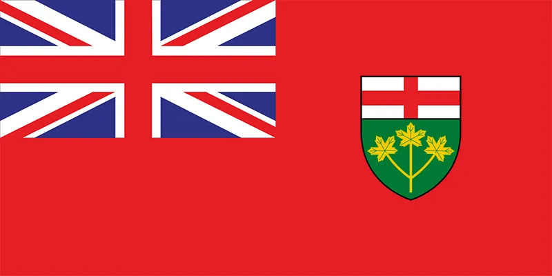
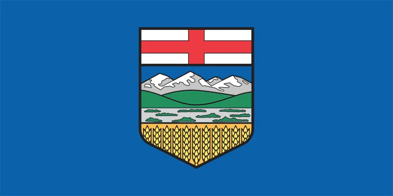
1st: Ontario

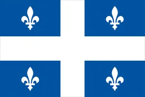
2nd: Quebec

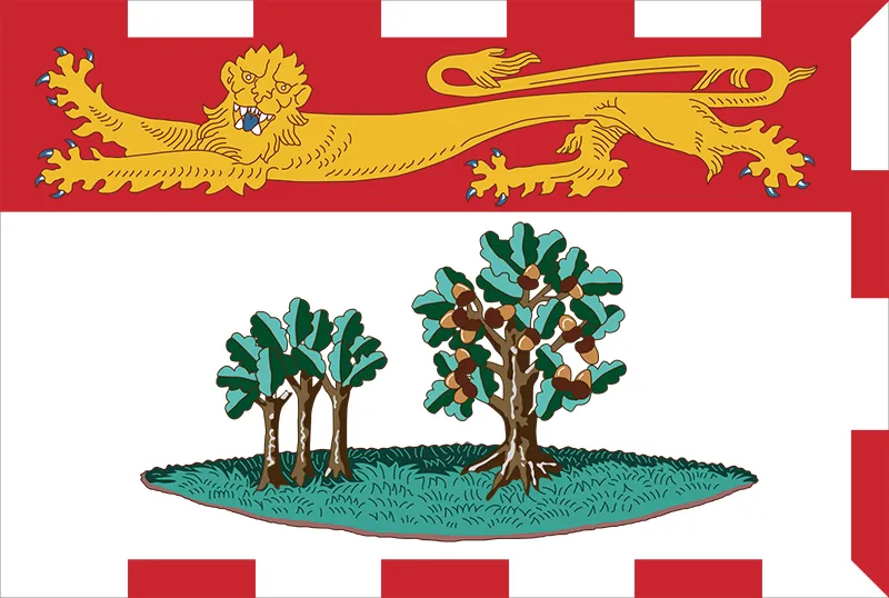
7th: Prince Edward Island
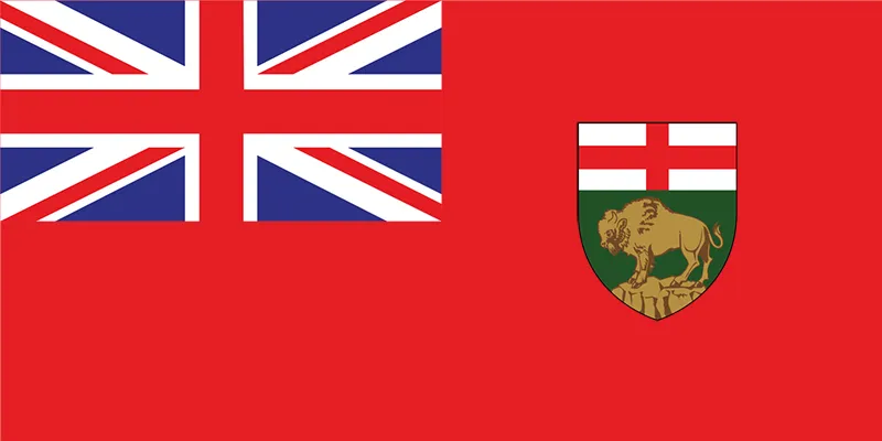
10th: Newfoundland and Labrador

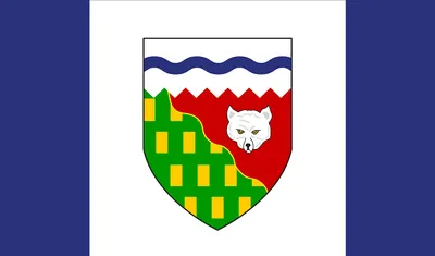
1st territory: Northwest Territories
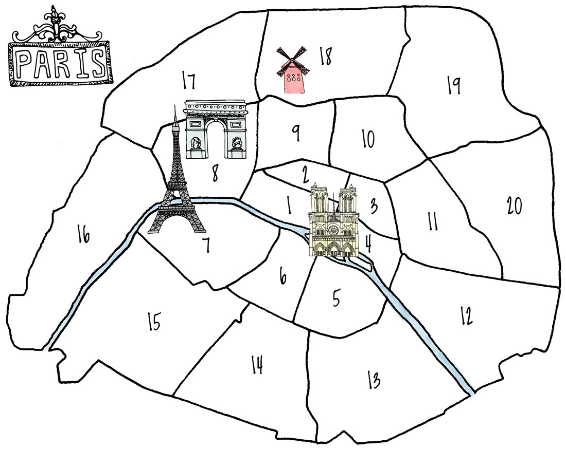
14th: Observatoire
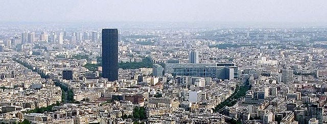
Situated on the left bank of the River Seine, the 14th arrondissement contains most of the Montparnasse district. It is today best known for its skyscraper, the Tour Montparnasse, and its major railway terminus, the Gare Montparnasse, both located in the neighboring 15th arrondissement. The district has traditionally been home to many artists as well as a Breton community, arrived at the beginning of the 20th century upon the creation of the Montparnasse railway terminus.
The 14th arrondissement also contains the Cité Internationale Universitaire de Paris, which is located near the Parc Montsouris and the Stade Charléty.
15th: Vaugirard
Situated on the Rive Gauche (left bank) of the River Seine and sharing the Montparnasse district with the 6th and 14th arrondissements, the 15th arrondissement is the city's most populous arrondissement. The Tour Montparnasse – the tallest skyscraper in Paris – and the neighbouring Gare Montparnasse are both located in the 15th arrondissement, at its border with the 14th. It is also home to the convention center Paris expo Porte de Versailles and the high-rise district of the Front de Seine (or Beaugrenelle).
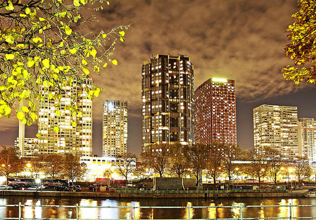
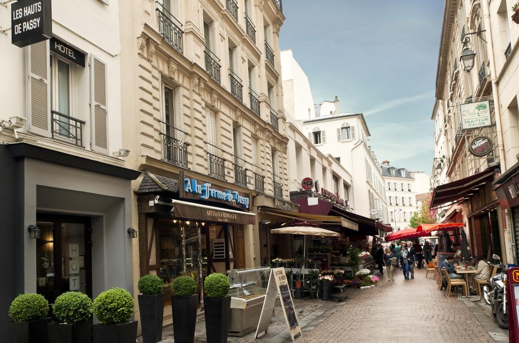
16th: Passy
The 16th arrondissement of Paris includes a concentration of museums between the Place du Trocadéro and the Place d'Iéna.
With its ornate 19th-century buildings, large avenues, prestigious schools, museums and various parks, the arrondissement has long been known as one of French high society's favorite places of residence to such an extent that the phrase le 16e has been associated with great wealth in French popular culture.
The 16th arrondissement hosts several large sporting venues, including: the Parc des Princes, Roland Garros Stadium, and Stade Jean-Bouin. The Bois de Boulogne, the second-largest public park in Paris, is also located in this arrondissement.
17th: Batignolles-Monceau
Situated on the right bank of the River Seine, the 17th arrondissement of Paris arrondissement is divided in 4 administrative districts: Ternes and Monceau in the southwestern part, two upper-class districts which are more Haussmannian in style; in the middle of the arrondissement, the Batignolles district, an area mostly occupied by young families or couples, with a marked gentrification process; in the northeastern part, the Épinettes district, a former industrial district gone residential, which is mainly middle class and also experiencing a less advanced gentrification process.
The town hall of the 17th arrondissement is on Rue des Batignolles. It is the only town hall of Paris to be located in a modern building. The 17th arrondissement also hosts the Palais des Congrès of Paris, which is a large exhibition center with an associated high-rise hotel, the Hyatt Regency Paris Étoile, the largest in the city.
18th: Butte-Montmartre
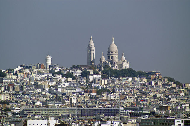
The 18th arrondissement, located on the Rive Droite (Right Bank), is mostly known for hosting the district of Montmartre which contains a hill known for its artistic history, the house of music diva Dalida, the Moulin Rouge cabaret, other historic features, and the prominent Sacré Cœur basilica which sits atop the hill.
The 18th arrondissement also contains the African and North African district of Goutte d'Or which is famous for its market, the marché Barbès, where one can find various products from the African continent.
19th: Buttes-Chaumont
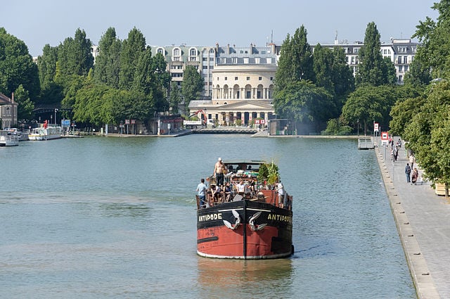
Situated on the Right Bank of the River Seine, the 19th arrondissement is crossed by two canals, the Canal Saint-Denis and the Canal de l'Ourcq, which meet near the Parc de la Villette.
The 19th arrondissement includes two public parks: the Parc des Buttes Chaumont, located on a hill, and the Parc de la Villette, which is home to both the Cité des Sciences et de l'Industrie, a museum and exhibition centre, and the Conservatoire de Paris, one of the most renowned music schools in Europe and part of the Cité de la Musique.